2006
SY8394 : Black Hill
taken 18 years ago, near to Turners Puddle, Dorset, England
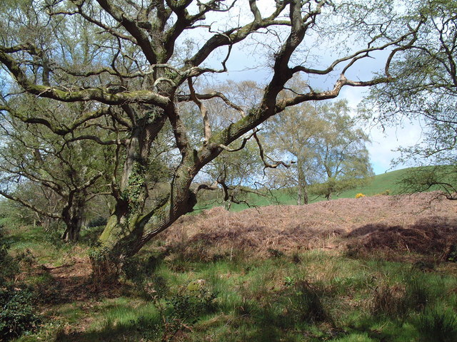
Black Hill
Taken on the western slope of Black Hill where the sandy heathland meets farmland.
 Map © Crown Copyright")
TIP: Click the map for more Large scale mapping
- Grid Square
- SY8394, 5 images (more nearby 🔍)
- Photographer
- David Squire (more nearby)
- Date Taken
- Monday, 1 May, 2006 (more nearby)
- Submitted
- Monday, 1 May, 2006
- Subject Location
-
OSGB36:
 SY 834 942 [100m precision]
WGS84: 50:44.8298N 2:14.1991W - Camera Location
-
OSGB36: SY 834 942
- View Direction
- North-northwest (about 337 degrees)