2009
TQ3774 : Field athletics facility, Ladywell Fields
taken 14 years ago, near to Catford, Lewisham, England
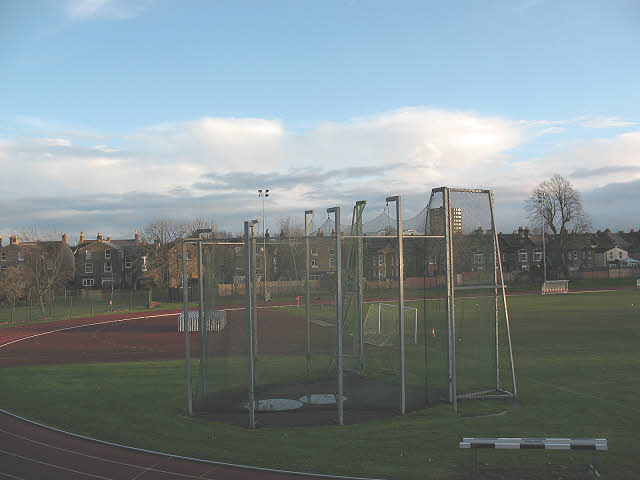
Field athletics facility, Ladywell Fields
Part of the same athletics facility as shown in TQ3774 : Lewisham: Ladywell Arena.
Ladywell Fields
Ladywell Fields is an area of flood plain around the Ravensbourne river south of Lewisham. It forms a linear park, at the heart of which are the river itself and the Waterlink Way - a surfaced path forming part of National Cycle Route 21.
The northern part of the park was landscaped in 2007, including routing a stream through the park in meandering fashion. This was part of the QUERCUS project Linkusing EU money for flood prevention and landscape improvements.
The central and southern sections were improved in the Parklands project in 2010/11, financed by the Housing & Communities Agency and the London Development Agency.
 Map © Crown Copyright")
TIP: Click the map for more Large scale mapping
- Grid Square
- TQ3774, 346 images (more nearby 🔍)
- Photographer
- Stephen Craven (more nearby)
- Date Taken
- Saturday, 26 December, 2009 (more nearby)
- Submitted
- Saturday, 26 December, 2009
- Subject Location
-
OSGB36:
 TQ 3756 7437 [10m precision]
WGS84: 51:27.0967N 0:1.3013W - Camera Location
-
OSGB36: TQ 3754 7438
- View Direction
- East-southeast (about 112 degrees)