2006
NX1065 : Relics of bombing range
taken 18 years ago, 3 km from Innermessan, Dumfries And Galloway, Scotland
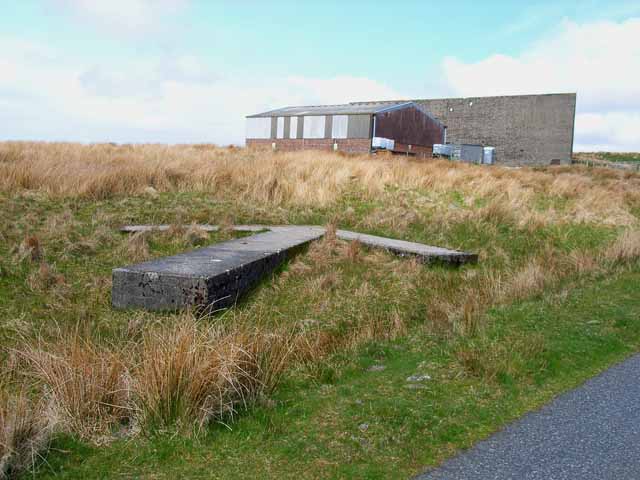
Relics of bombing range
This massive concrete wall (partly obscured by more recent buildings) and arrow were part of a WWII bombing range and can be seen just off the road from Innermessan to Penwhirn.
 Map © Crown Copyright")
TIP: Click the map for more Large scale mapping
- Grid Square
- NX1065, 28 images (more nearby 🔍)
- Photographer
- Oliver Dixon (more nearby)
- Date Taken
- Saturday, 29 April, 2006 (more nearby)
- Submitted
- Thursday, 4 May, 2006
- Subject Location
-
OSGB36:
 NX 102 658 [100m precision]
WGS84: 54:57.0374N 4:57.9203W - Camera Location
-
OSGB36: NX 102 657
- View Direction
- North-northeast (about 22 degrees)