2006
NT5765 : Park Burn
taken 18 years ago, 3 km from Longyester, East Lothian, Scotland
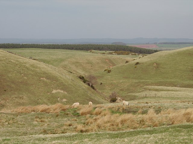
Park Burn
Steep cleuch where the Park Burn leaves the Lammermuir Hills, eventually to join the Gifford Water and then the Tyne. Some wetland, but mostly grazing for sheep and cattle with a liberal sprinkling of electric fences.
 Map © Crown Copyright")
TIP: Click the map for more Large scale mapping
- Grid Square
- NT5765, 6 images (more nearby 🔍)
- Photographer
- Richard Webb (more nearby)
- Date Taken
- Thursday, 4 May, 2006 (more nearby)
- Submitted
- Thursday, 4 May, 2006
- Subject Location
-
OSGB36:
 NT 575 652 [100m precision]
WGS84: 55:52.6842N 2:40.8518W - Camera Location
-
OSGB36: NT 577 651
- View Direction
- West-northwest (about 292 degrees)