2006
SU4141 : Western end of Bransbury Common
taken 18 years ago, near to Newton Stacey, Hampshire, England
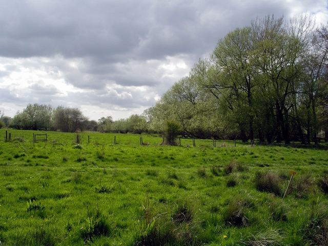
Western end of Bransbury Common
North of Newton Stacey, Bransbury Common is access land that lies between the rivers Dever and Test.
 Map © Crown Copyright")
TIP: Click the map for more Large scale mapping
- Grid Square
- SU4141, 7 images (more nearby 🔍)
- Photographer
- Peter Jordan (more nearby)
- Date Taken
- Monday, 1 May, 2006 (more nearby)
- Submitted
- Thursday, 4 May, 2006
- Subject Location
-
OSGB36:
 SU 411 412 [100m precision]
WGS84: 51:10.1144N 1:24.8123W - Camera Location
-
OSGB36: SU 412 413
- View Direction
- Southwest (about 225 degrees)