2006
SD5827 : Bannister Hall
taken 18 years ago, near to Higher Walton, Lancashire, England
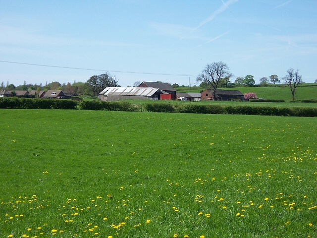
Bannister Hall
View from the rear of the farm complex, looking across verdant meadowland (complete with a myriad dandelions) from the industrial estate by the River Darwen.
 Map © Crown Copyright")
TIP: Click the map for more Large scale mapping
- Grid Square
- SD5827, 19 images (more nearby 🔍)
- Photographer
- Roger May (more nearby)
- Date Taken
- Friday, 5 May, 2006 (more nearby)
- Submitted
- Friday, 5 May, 2006
- Subject Location
-
OSGB36:
 SD 580 278 [100m precision]
WGS84: 53:44.6924N 2:38.2988W - Camera Location
-
OSGB36: SD 584 276
- View Direction
- West-northwest (about 292 degrees)