2010
ST8095 : Across the valley of the Marlees Brook
taken 14 years ago, near to Kingscote, Gloucestershire, England
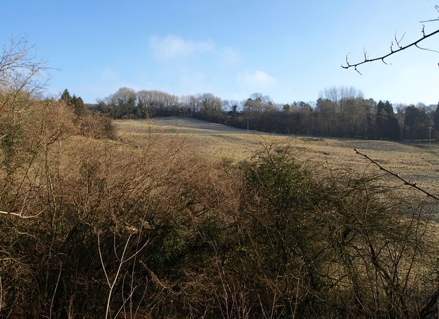
Across the valley of the Marlees Brook
A glimpse of the eastern slopes of the combe from Ashcroft Road, a little above the scene in ST8095 : Road crossing Marlees Brook. Ashcroft Road reaches the crest of the slope at Bagpath beside the highest point of the field left of centre.
 Map © Crown Copyright")
TIP: Click the map for more Large scale mapping
- Grid Square
- ST8095, 7 images (more nearby 🔍)
- Photographer
- Derek Harper (more nearby)
- Date Taken
- Friday, 1 January, 2010 (more nearby)
- Submitted
- Tuesday, 5 January, 2010
- Subject Location
-
OSGB36:
 ST 805 950 [100m precision]
WGS84: 51:39.2069N 2:16.9959W - Camera Location
-
OSGB36: ST 803 950
- View Direction
- EAST (about 90 degrees)