2009
NY9044 : Moorland below the upper Rookhope lead smelting flue chimney (2)
taken 14 years ago, 4 km WNW of Rookhope, County Durham, England
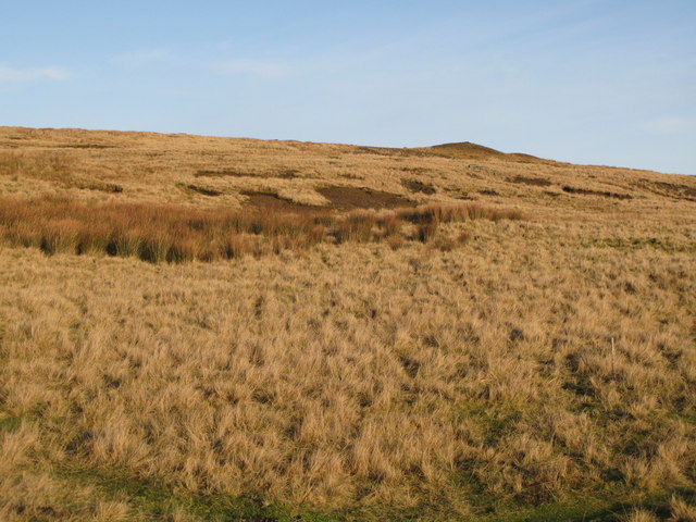
Moorland below the upper Rookhope lead smelting flue chimney (2)
 Map © Crown Copyright")
TIP: Click the map for more Large scale mapping
- Grid Square
- NY9044, 105 images (more nearby 🔍)
- Photographer
- Mike Quinn (more nearby)
- Date Taken
- Thursday, 10 December, 2009 (more nearby)
- Submitted
- Tuesday, 5 January, 2010
- Subject Location
-
OSGB36:
 NY 904 443 [100m precision]
WGS84: 54:47.6184N 2:8.9872W - Camera Location
-
OSGB36: NY 903 441
- View Direction
- Northeast (about 45 degrees)