1992
SE2338 : Horsforth: Footpath from Hall Lane to Hunger Hills
taken 32 years ago, near to Horsforth, Leeds, England
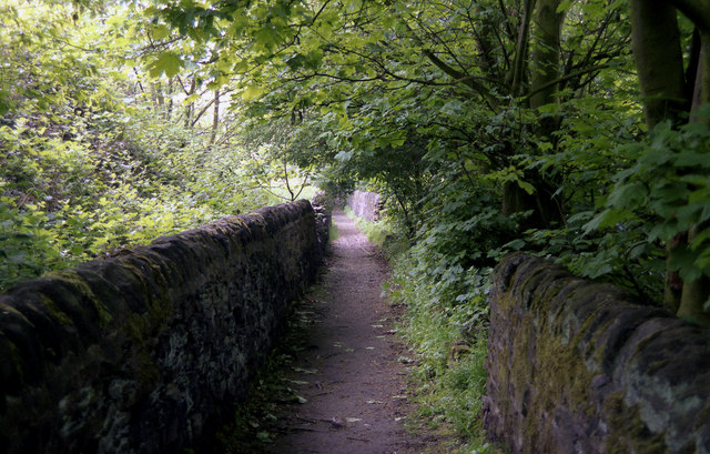
Horsforth: Footpath from Hall Lane to Hunger Hills
There is a right of way along this pleasant walled path.
 Map © Crown Copyright")
TIP: Click the map for more Large scale mapping
- Grid Square
- SE2338, 272 images (more nearby 🔍)
- Photographer
- Dr Neil Clifton (more nearby)
- Date Taken
- Monday, 25 May, 1992 (more nearby)
- Submitted
- Friday, 8 January, 2010
- Subject Location
-
OSGB36:
 SE 233 383 [100m precision]
WGS84: 53:50.4257N 1:38.8069W - Camera Location
-
OSGB36: SE 233 382
- View Direction
- North-northeast (about 22 degrees)