2010
TG2404 : Crossing Boudica's Way
taken 14 years ago, near to Caistor st Edmund, Norfolk, England
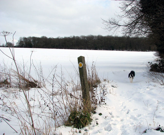
Crossing Boudica's Way
The track turning off Stoke Road serves as a public footpath, leading to the village of Arminghall further to the east. The woodland seen in the background is Arminghall Wood. The path here follows a hedge field boundary and is crossed by Boudica's Way long distance footpath by the footpath marker seen in the foreground. Only a few rabbits have been this way since the recent snowfalls.
 Map © Crown Copyright")
TIP: Click the map for more Large scale mapping
- Grid Square
- TG2404, 207 images (more nearby 🔍)
- Photographer
- Evelyn Simak (more nearby)
- Date Taken
- Saturday, 9 January, 2010 (more nearby)
- Submitted
- Sunday, 10 January, 2010
- Subject Location
-
OSGB36:
 TG 244 043 [100m precision]
WGS84: 52:35.4452N 1:18.7408E - Camera Location
-
OSGB36: TG 244 043
- View Direction
- EAST (about 90 degrees)