2010
SO7741 : The Upper Welland Road
taken 14 years ago, near to Little Malvern, Worcestershire, England
This is 1 of 2 images, with title The Upper Welland Road in this square
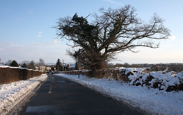
The Upper Welland Road
After the plough and gritters have got through the lower (less steep) portion of the road is quite usable.
 Map © Crown Copyright")
TIP: Click the map for more Large scale mapping
- Grid Square
- SO7741, 164 images (more nearby 🔍)
- Photographer
- Bob Embleton (more nearby)
- Date Taken
- Saturday, 9 January, 2010 (more nearby)
- Submitted
- Sunday, 10 January, 2010
- Subject Location
-
OSGB36:
 SO 777 410 [100m precision]
WGS84: 52:4.0151N 2:19.6034W - Camera Location
-
OSGB36: SO 776 410
- View Direction
- Southeast (about 135 degrees)