2010
TQ2608 : Dyke Railway Trail
taken 14 years ago, near to West Blatchington, Brighton And Hove, England
This is 1 of 4 images, with title Dyke Railway Trail in this square
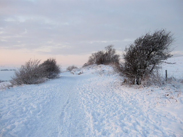
Dyke Railway Trail
The surfaced footpath and cycle route was opened in 1988 on the route of the old Dyke railway that operated from 1887 to 1938. Looking towards a seat which has views to Benfield Hill and the northern parts of Brighton and Hove.
 Map © Crown Copyright")
TIP: Click the map for more Large scale mapping
- Grid Square
- TQ2608, 40 images (more nearby 🔍)
- Photographer
- Simon Carey (more nearby)
- Date Taken
- Thursday, 7 January, 2010 (more nearby)
- Submitted
- Sunday, 10 January, 2010
- Subject Location
-
OSGB36:
 TQ 267 081 [100m precision]
WGS84: 50:51.5333N 0:12.0204W - Camera Location
-
OSGB36: TQ 268 081
- View Direction
- West-northwest (about 292 degrees)