2009
TQ5841 : Powdermill Lane
taken 14 years ago, near to Southborough, Kent, England
This is 1 of 22 images, with title Powdermill Lane in this square
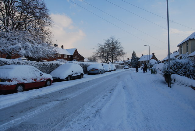
Powdermill Lane
Iron had been worked in the area since prehistoric times, since the underlying rock (the iron-rich sandstone of the Hastings Beds) provided the raw material.
The forges probably continued working until the 18th century when the making of iron became uneconomical. In 1771 the site was taken over for gunpowder manufacturing hence the name Powder Mill Lane. The mill blew up shortly afterwards but was replaced and continued manufacturing gunpowder. By 1845 a cornmill had been erected on the site, which continued in operation until 1942 when it was demolished. There are now no traces of any industrial workings in the area.
See other images of Powdermill Lane
 Map © Crown Copyright")
TIP: Click the map for more Large scale mapping
- Grid Square
- TQ5841, 949 images (more nearby 🔍)
- Photographer
- N Chadwick (more nearby)
- Date Taken
- Friday, 18 December, 2009 (more nearby)
- Submitted
- Thursday, 14 January, 2010
- Subject Location
-
OSGB36:
 TQ 587 415 [100m precision]
WGS84: 51:9.0449N 0:16.0965E - Camera Location
-
OSGB36: TQ 587 415
- View Direction
- West-southwest (about 247 degrees)