2010
SP3277 : Pollarded limes, Mayfield Road
taken 14 years ago, near to Earlsdon, Coventry, England
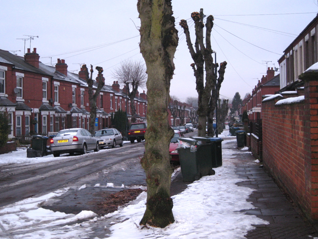
Pollarded limes, Mayfield Road
Common Lime (Tilia x europaea, a natural hybrid) grows to an impressive size, for example in parkland, but planted in small-scale spaces such as residential streets probably with the best of intentions it spells trouble. Coventry City has grasped the nettle and operates a programme of pollarding in order to reduce justified complaints about loss of light, falling twigs and leaves, goo on cars and potential scary height.
 Map © Crown Copyright")
TIP: Click the map for more Large scale mapping
- Grid Square
- SP3277, 309 images (more nearby 🔍)
- Photographer
- Robin Stott (more nearby)
- Date Taken
- Thursday, 14 January, 2010 (more nearby)
- Submitted
- Friday, 15 January, 2010
- Subject Location
-
OSGB36:
 SP 322 779 [100m precision]
WGS84: 52:23.8905N 1:31.6911W - Camera Location
-
OSGB36: SP 322 779
- View Direction
- Northeast (about 45 degrees)