2009
SU6854 : Newnham Lane
taken 15 years ago, near to Old Basing, Hampshire, England
This is 1 of 4 images, with title Newnham Lane in this square
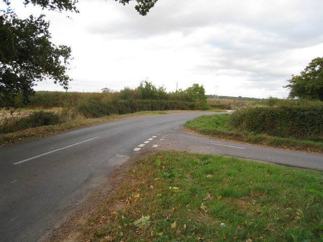
Newnham Lane
The road just visible to the right is Poors Farm Road.
 Map © Crown Copyright")
TIP: Click the map for more Large scale mapping
- Grid Square
- SU6854, 33 images (more nearby 🔍)
- Photographer
- Mr Ignavy (more nearby)
- Date Taken
- Saturday, 3 October, 2009 (more nearby)
- Submitted
- Friday, 15 January, 2010
- Subject Location
-
OSGB36:
 SU 680 540 [100m precision]
WGS84: 51:16.8919N 1:1.5072W - Camera Location
-
OSGB36: SU 680 540
- View Direction
- EAST (about 90 degrees)