TQ4456 : North Downs Way heading East
taken 14 years ago, near to Horns Green, Bromley, England
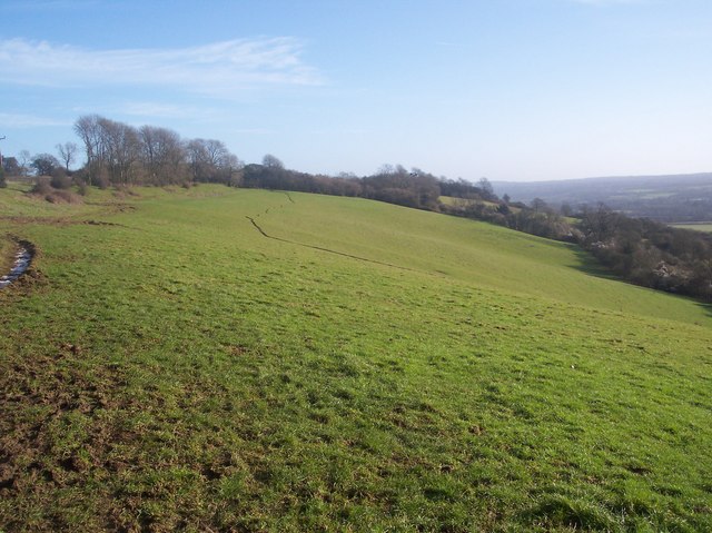
A long distance path in southern England. It runs from Farnham to Dover, past Godalming, Guildford, Dorking, Merstham, Otford and Rochester, along the Surrey Hills Area of Outstanding Natural Beauty (AONB) and Kent Downs AONB. East of Boughton Lees, the path splits in two, the northern section running via Canterbury and the southern via Wye. The two sections of the path reunite at Dover. The northern route is 211 km long, and the southern route 201 km, the total length of the North Downs Way being 246 km.
The pathway is mixed in that it varies throughout its length from footpath status to bridleway, byway and road. Some 19% of the Way follows roads, though 75% of those are minor lanes. It is marked by an acorn. See TQ6561 : Crossover in Long Distance pathways.
See Linkfor more details and an interactive map of the trail.
 Map © Crown Copyright")
- Grid Square
- TQ4456, 60 images (more nearby 🔍)
- Photographer
- David Anstiss (more nearby)
- Date Taken
- Sunday, 17 January, 2010 (more nearby)
- Submitted
- Tuesday, 19 January, 2010
- Subject Location
-
OSGB36:
 TQ 446 565 [100m precision]
WGS84: 51:17.3947N 0:4.3394E - Camera Location
-
OSGB36: TQ 445 565
- View Direction
- East-northeast (about 67 degrees)