2010
TQ4655 : Station Road
taken 14 years ago, near to Brasted, Kent, England
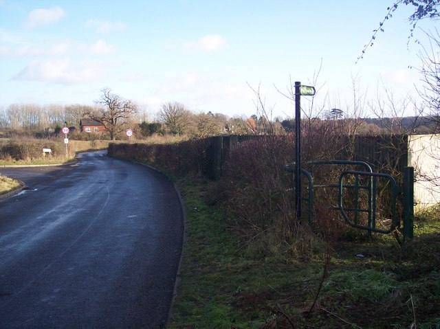
Station Road
This road was Hogtrough Hill from Knockholt (until it went under the M25) now it is Station Road leading towards Church Road and Coles Lane. The name refers to a disused and dismantled railway line leading from Westerham to Dunton Green See TQ4555 : Former Westerham Railway, Kent for more details. This road used to be near the Brasted Railway Station. The footpath on the right leads to Mill Farm on Church Road. The road on the left heads to Station House (the disused Railway Station).
 Map © Crown Copyright")
TIP: Click the map for more Large scale mapping
- Grid Square
- TQ4655, 81 images (more nearby 🔍)
- Photographer
- David Anstiss (more nearby)
- Date Taken
- Sunday, 17 January, 2010 (more nearby)
- Submitted
- Tuesday, 19 January, 2010
- Subject Location
-
OSGB36:
 TQ 467 557 [100m precision]
WGS84: 51:16.9036N 0:6.1586E - Camera Location
-
OSGB36: TQ 467 557
- View Direction
- East-southeast (about 112 degrees)