2009
NC8320 : Hut Circle and Burnt Mound
taken 15 years ago, 5 km W of Craggie, Highland, Scotland
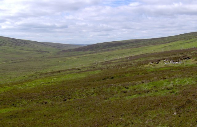
Hut Circle and Burnt Mound
At end of track from Craggie
 Map © Crown Copyright")
TIP: Click the map for more Large scale mapping
- Grid Square
- NC8320, 4 images (more nearby 🔍)
- Photographer
- John A Ross (more nearby)
- Date Taken
- Sunday, 21 June, 2009 (more nearby)
- Submitted
- Friday, 22 January, 2010
- Subject Location
-
OSGB36:
 NC 832 203 [100m precision]
WGS84: 58:9.3874N 3:59.1884W - Camera Location
-
OSGB36: NC 833 203
- View Direction
- WEST (about 270 degrees)