2010
SD5482 : Public bridlepath
taken 14 years ago, near to Nook, Cumbria, England
This is 1 of 2 images, with title starting with Public in this square
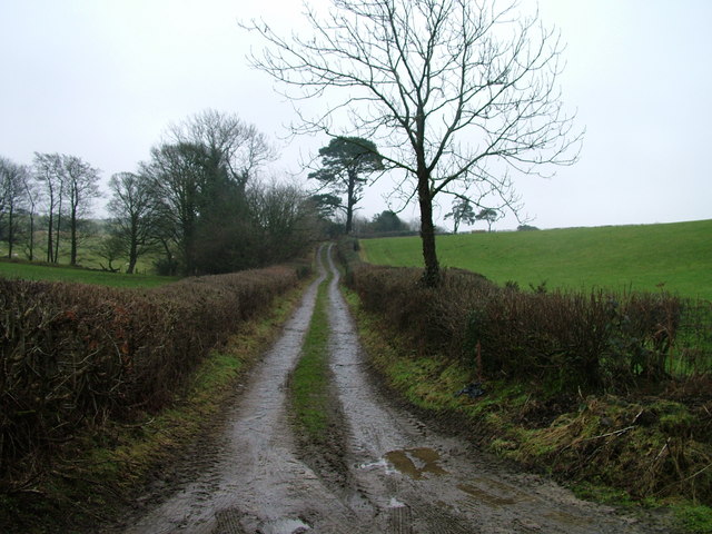
Public bridlepath
 Map © Crown Copyright")
TIP: Click the map for more Large scale mapping
- Grid Square
- SD5482, 22 images (more nearby 🔍)
- Photographer
- David Brown (more nearby)
- Date Taken
- Friday, 22 January, 2010 (more nearby)
- Submitted
- Friday, 22 January, 2010
- Subject Location
-
OSGB36:
 SD 549 828 [100m precision]
WGS84: 54:14.3452N 2:41.5355W - Camera Location
-
OSGB36: SD 549 828
- View Direction
- East-southeast (about 112 degrees)