2006
SO4713 : Whitehill Wood
taken 18 years ago, near to Rockfield, Monmouthshire/Sir Fynwy, Wales
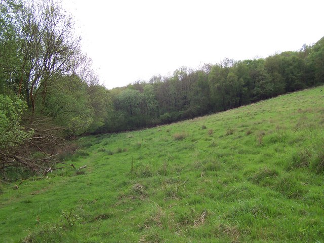
Whitehill Wood
Offa's Dyke National Trail approaching Whitehill Wood, which really is a subsidiary of King's Wood
 Map © Crown Copyright")
TIP: Click the map for more Large scale mapping
- Grid Square
- SO4713, 4 images (more nearby 🔍)
- Photographer
- Chris Heaton (more nearby)
- Date Taken
- Monday, 8 May, 2006 (more nearby)
- Submitted
- Wednesday, 10 May, 2006
- Subject Location
-
OSGB36:
 SO 478 130 [100m precision]
WGS84: 51:48.7909N 2:45.5167W - Camera Location
-
OSGB36: SO 479 131
- View Direction
- West-southwest (about 247 degrees)