2010
SU6862 : Approaching Stratfield Saye
taken 14 years ago, near to Stratfield Saye, Hampshire, England
This is 1 of 2 images, with title Approaching Stratfield Saye in this square
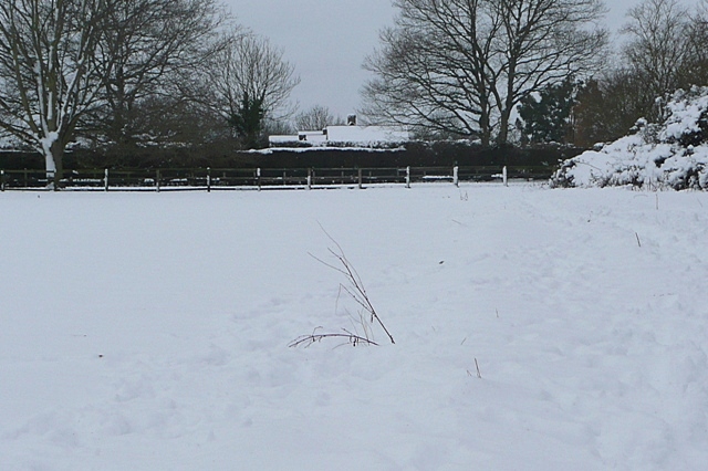
Approaching Stratfield Saye
This is the field headland footpath from the Devil's Highway, that reaches Stratfield Saye at Forelands Farm.
 Map © Crown Copyright")
TIP: Click the map for more Large scale mapping
- Grid Square
- SU6862, 27 images (more nearby 🔍)
- Photographer
- Graham Horn (more nearby)
- Date Taken
- Sunday, 10 January, 2010 (more nearby)
- Submitted
- Saturday, 23 January, 2010
- Subject Location
-
OSGB36:
 SU 686 620 [100m precision]
WGS84: 51:21.1979N 1:0.9333W - Camera Location
-
OSGB36: SU 686 620
- View Direction
- South-southwest (about 202 degrees)