2010
NN2409 : Allt Beinn Ime
taken 14 years ago, near to Beinn Chorranach [hill or Mountain], Argyll And Bute, Great Britain
This is 1 of 2 images, with title Allt Beinn Ime in this square
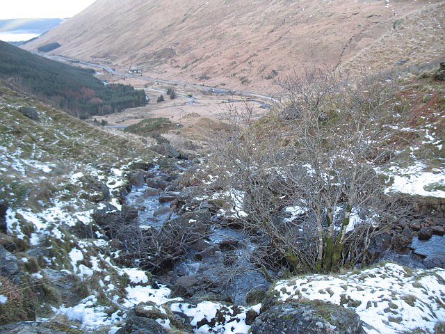
Allt Beinn Ime
View downstream towards Glen Kinglas.
 Map © Crown Copyright")
TIP: Click the map for more Large scale mapping
- Grid Square
- NN2409, 8 images (more nearby 🔍)
- Photographer
- Richard Webb (more nearby)
- Date Taken
- Saturday, 23 January, 2010 (more nearby)
- Submitted
- Sunday, 24 January, 2010
- Subject Location
-
OSGB36:
 NN 241 091 [100m precision]
WGS84: 56:14.5233N 4:50.3854W - Camera Location
-
OSGB36: NN 241 091
- View Direction
- Northwest (about 315 degrees)