2010
TG2707 : A woodland walk in Whitlingham Country Park
taken 14 years ago, near to Thorpe st Andrew, Norfolk, England
This is 1 of 4 images, with title A woodland walk in Whitlingham Country Park in this square
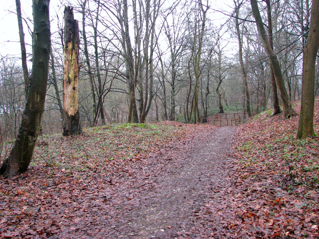
A woodland walk in Whitlingham Country Park
The path traverses Old Chalkpit Plantation and leads past a disused lime kiln > Link.
Whitlingham Country Park :: TG2607
The park, located at Trowse just south of the city of Norwich, was created through the process of gravel extraction which began in 1990 with the creation of the Little Broad > Link. In 1995 work began on the Great Broad > Link. The park consists of two lakes (Great and Little Broad) and a beach and offers a full range of water-based activities > Link as well as a number of cycle paths and woodland walks > Link. A historic flint barn has been converted into a visitor information centre including a shop and café and toilet facilities > Link. For more information see: Link
.
 Map © Crown Copyright")
TIP: Click the map for more Large scale mapping
- Grid Square
- TG2707, 135 images (more nearby 🔍)
- Photographer
- Evelyn Simak (more nearby)
- Date Taken
- Saturday, 23 January, 2010 (more nearby)
- Submitted
- Monday, 25 January, 2010
- Subject Location
-
OSGB36:
 TG 271 078 [100m precision]
WGS84: 52:37.2246N 1:21.2781E - Camera Location
-
OSGB36: TG 271 077
- View Direction
- East-northeast (about 67 degrees)