2010
NT4233 : Track junction, Yair Forest
taken 14 years ago, 3 km from Caddonfoot, Scottish Borders, Scotland
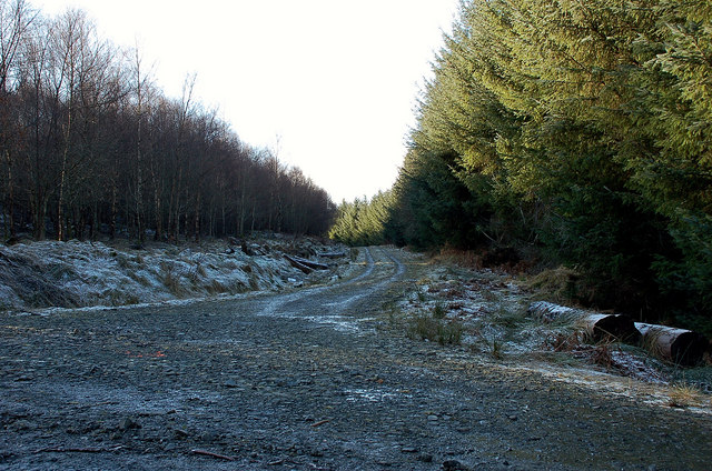
Track junction, Yair Forest
A side track off the main route down to Ashiestiel.
 Map © Crown Copyright")
TIP: Click the map for more Large scale mapping
- Grid Square
- NT4233, 35 images (more nearby 🔍)
- Photographer
- Jim Barton (more nearby)
- Date Taken
- Friday, 29 January, 2010 (more nearby)
- Submitted
- Saturday, 30 January, 2010
- Subject Location
-
OSGB36:
 NT 428 331 [100m precision]
WGS84: 55:35.3168N 2:54.5251W - Camera Location
-
OSGB36: NT 428 331
- View Direction
- West-southwest (about 247 degrees)