2010
SK8635 : Casthorpe
taken 14 years ago, near to Barrowby, Lincolnshire, England
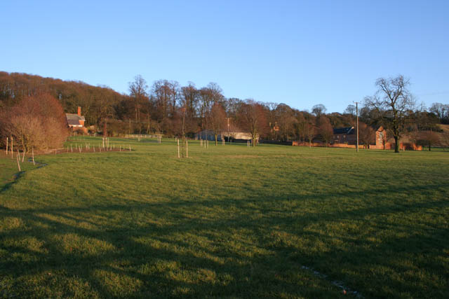
Casthorpe
Casthorpe is made up of a scattering of farms and a few houses at the foot of the Casthorpe Hills. Here, Casthorpe Lodge is in the centre with Lodge Cottage to the left. The newly converted barn to the right is called Casthorpe Grange.
 Map © Crown Copyright")
TIP: Click the map for more Large scale mapping
- Grid Square
- SK8635, 15 images (more nearby 🔍)
- Photographer
- Kate Jewell (more nearby)
- Date Taken
- Saturday, 30 January, 2010 (more nearby)
- Submitted
- Sunday, 31 January, 2010
- Subject Location
-
OSGB36:
 SK 869 356 [100m precision]
WGS84: 52:54.6751N 0:42.5086W - Camera Location
-
OSGB36: SK 868 356
- View Direction
- EAST (about 90 degrees)