2010
NS8076 : Righead Farm (ruin)
taken 14 years ago, near to Abronhill, North Lanarkshire, Scotland
This is 1 of 2 images, with title Righead Farm (ruin) in this square
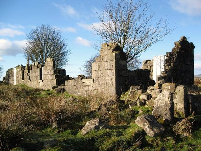
Righead Farm (ruin)
 Map © Crown Copyright")
TIP: Click the map for more Large scale mapping
- Grid Square
- NS8076, 21 images (more nearby 🔍)
- Photographer
- Texas Radio and The Big Beat (more nearby)
- Date Taken
- Sunday, 31 January, 2010 (more nearby)
- Submitted
- Sunday, 31 January, 2010
- Subject Location
-
OSGB36:
 NS 809 762 [100m precision]
WGS84: 55:57.8664N 3:54.5724W - Camera Location
-
OSGB36: NS 809 762
- View Direction
- WEST (about 270 degrees)