2010
SP1604 : Arable land near Hatherop
taken 14 years ago, near to Hatherop, Gloucestershire, England
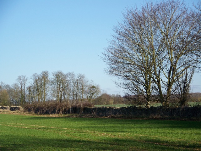
Arable land near Hatherop
The arable field is bound by Cotswold stone walling. The crop looks good under the winter sunshine.
 Map © Crown Copyright")
TIP: Click the map for more Large scale mapping
- Grid Square
- SP1604, 16 images (more nearby 🔍)
- Photographer
- Maigheach-gheal (more nearby)
- Date Taken
- Saturday, 30 January, 2010 (more nearby)
- Submitted
- Sunday, 31 January, 2010
- Subject Location
-
OSGB36:
 SP 166 041 [100m precision]
WGS84: 51:44.1219N 1:45.6090W - Camera Location
-
OSGB36: SP 165 040
- View Direction
- Northeast (about 45 degrees)