2005
ST9603 : Badbury Ring, Dorset
taken 19 years ago, 3 km from Shapwick, Dorset, England
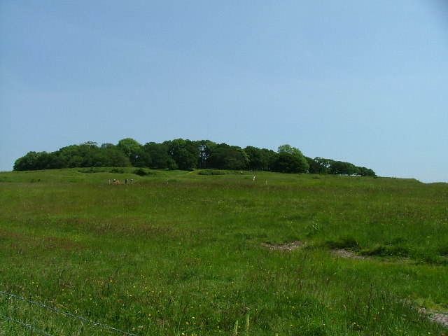
Badbury Ring, Dorset
The Iron Age Hill Fort at Badbury Rings on the Wimborne to Blandford Forum road
 Map © Crown Copyright")
TIP: Click the map for more Large scale mapping
- Grid Square
- ST9603, 60 images (more nearby 🔍)
- Photographer
- Chris Hayles (more nearby)
- Date Taken
- Wednesday, 8 June, 2005 (more nearby)
- Submitted
- Friday, 10 June, 2005
- Subject Location
-
OSGB36:
 ST 96 03 [1000m precision]
WGS84: 50:49.8614N 2:3.0639W