2010
SP3566 : Field southeast of Ham Barn
taken 14 years ago, near to Offchurch, Warwickshire, England
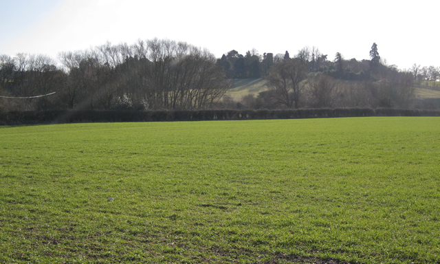
Field southeast of Ham Barn
A field boundary hedge should run across the right-hand side of the picture. Midday sun silhouettes Offchurch across the Leam. The church tower can be made out on the hill.
 Map © Crown Copyright")
TIP: Click the map for more Large scale mapping
- Grid Square
- SP3566, 36 images (more nearby 🔍)
- Photographer
- Robin Stott (more nearby)
- Date Taken
- Saturday, 30 January, 2010 (more nearby)
- Submitted
- Monday, 1 February, 2010
- Subject Location
-
OSGB36:
 SP 357 660 [100m precision]
WGS84: 52:17.4588N 1:28.6806W - Camera Location
-
OSGB36: SP 357 662
- View Direction
- South-southeast (about 157 degrees)