2010
TQ6107 : Further Marsh
taken 14 years ago, 3 km from Hankham, East Sussex, England
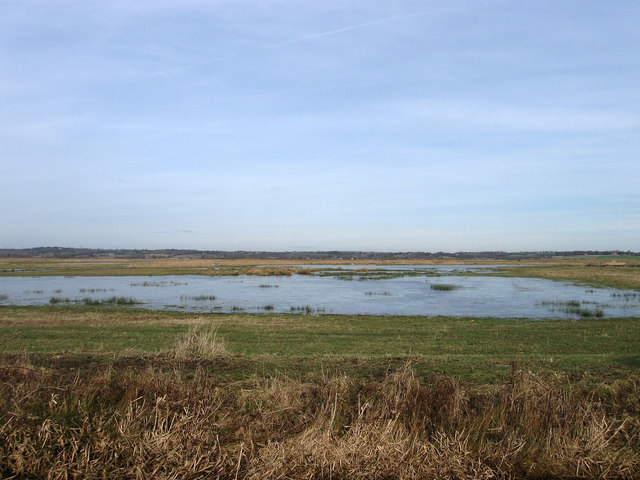
Further Marsh
The name of the field according to the 1839 tithe map and part of Down Level. The surface water has frozen after a heavy frost the night before. The higher ground of the Weald can be seen in the distance.
 Map © Crown Copyright")
TIP: Click the map for more Large scale mapping
- Grid Square
- TQ6107, 32 images (more nearby 🔍)
- Photographer
- Simon Carey (more nearby)
- Date Taken
- Sunday, 31 January, 2010 (more nearby)
- Submitted
- Monday, 1 February, 2010
- Subject Location
-
OSGB36:
 TQ 619 078 [100m precision]
WGS84: 50:50.8351N 0:17.9048E - Camera Location
-
OSGB36: TQ 618 077
- View Direction
- Northeast (about 45 degrees)