2010
TQ5643 : Footpath junction near Birch Wood (2)
taken 14 years ago, near to Bidborough, Kent, England
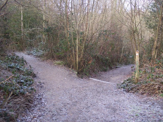
Footpath junction near Birch Wood (2)
A footpath from Birchwood Avenue/Dower House Crescent leads downhill, then uphill through the wood towards St.Lawrence Avenue. Another path heads left towards Brookhurst Field and the Wealdway (long distance path).
Birch Wood, Bidborough
An 18 acre neglected woodland with a small lake, situated between Bidborough and Southborough, Kent.
See Linkfor more details on Birch Wood.
 Map © Crown Copyright")
TIP: Click the map for more Large scale mapping
- Grid Square
- TQ5643, 280 images (more nearby 🔍)
- Photographer
- David Anstiss (more nearby)
- Date Taken
- Saturday, 30 January, 2010 (more nearby)
- Submitted
- Tuesday, 2 February, 2010
- Subject Location
-
OSGB36:
 TQ 569 431 [100m precision]
WGS84: 51:9.9367N 0:14.6212E - Camera Location
-
OSGB36: TQ 569 431
- View Direction
- WEST (about 270 degrees)