2010
TQ6207 : Rickney Marsh
taken 14 years ago, near to Hankham, East Sussex, England
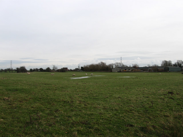
Rickney Marsh
The name of the field according to the 1839 tithe map with some outbuilding belonging to Rickney Farm in the background.
 Map © Crown Copyright")
TIP: Click the map for more Large scale mapping
- Grid Square
- TQ6207, 59 images (more nearby 🔍)
- Photographer
- Simon Carey (more nearby)
- Date Taken
- Sunday, 31 January, 2010 (more nearby)
- Submitted
- Wednesday, 3 February, 2010
- Subject Location
-
OSGB36:
 TQ 625 070 [100m precision]
WGS84: 50:50.4149N 0:18.4125E - Camera Location
-
OSGB36: TQ 624 071
- View Direction
- Southeast (about 135 degrees)