2010
TQ6206 : Road Marsh
taken 14 years ago, near to Hankham, East Sussex, England
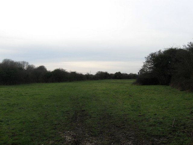
Road Marsh
The name of the field according to the 1839 tithe map and part of Down Level. The bushes to the left mark the course of Rickney Lane.
 Map © Crown Copyright")
TIP: Click the map for more Large scale mapping
- Grid Square
- TQ6206, 95 images (more nearby 🔍)
- Photographer
- Simon Carey (more nearby)
- Date Taken
- Sunday, 31 January, 2010 (more nearby)
- Submitted
- Wednesday, 3 February, 2010
- Subject Location
-
OSGB36:
 TQ 623 069 [100m precision]
WGS84: 50:50.3741N 0:18.2912E - Camera Location
-
OSGB36: TQ 624 069
- View Direction
- West-southwest (about 247 degrees)