2010
SN6289 : Pant-y-dwn
taken 14 years ago, near to Dôl-y-Bont, Ceredigion/Sir Ceredigion, Wales
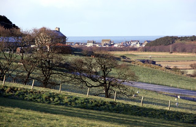
Pant-y-dwn
Looking back towards the farmhouse with Borth beyond.
 Map © Crown Copyright")
TIP: Click the map for more Large scale mapping
- Grid Square
- SN6289, 23 images (more nearby 🔍)
- Photographer
- Chris Denny (more nearby)
- Date Taken
- Saturday, 30 January, 2010 (more nearby)
- Submitted
- Thursday, 4 February, 2010
- Subject Location
-
OSGB36:
 SN 624 895 [100m precision]
WGS84: 52:29.2099N 4:1.6468W - Camera Location
-
OSGB36: SN 628 896
- View Direction
- WEST (about 270 degrees)