2010
SE4019 : Field boundary outlined by snow and hedge, Snydale
taken 14 years ago, near to Sharlston, Wakefield, England
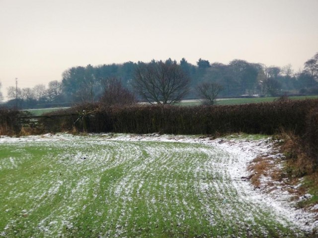
Field boundary outlined by snow and hedge, Snydale
 Map © Crown Copyright")
TIP: Click the map for more Large scale mapping
- Grid Square
- SE4019, 13 images (more nearby 🔍)
- Photographer
- Christine Johnstone (more nearby)
- Date Taken
- Wednesday, 3 February, 2010 (more nearby)
- Submitted
- Thursday, 4 February, 2010
- Subject Location
-
OSGB36:
 SE 401 197 [100m precision]
WGS84: 53:40.3610N 1:23.5877W - Camera Location
-
OSGB36: SE 400 199
- View Direction
- Southeast (about 135 degrees)