2007
TQ4535 : Track to Lower Parrock
taken 17 years ago, near to Upper Hartfield, East Sussex, England
This is 1 of 4 images, with title Track to Lower Parrock in this square
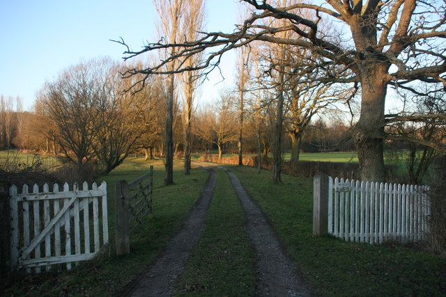
Track to Lower Parrock
 Map © Crown Copyright")
TIP: Click the map for more Large scale mapping
- Grid Square
- TQ4535, 98 images (more nearby 🔍)
- Photographer
- N Chadwick (more nearby)
- Date Taken
- Thursday, 1 March, 2007 (more nearby)
- Submitted
- Thursday, 4 February, 2010
- Subject Location
-
OSGB36:
 TQ 457 355 [100m precision]
WGS84: 51:6.0439N 0:4.8253E - Camera Location
-
OSGB36: TQ 457 355
- View Direction
- North-northeast (about 22 degrees)