2010
TG1606 : View south-west along School Lane
taken 14 years ago, near to Little Melton, Norfolk, England
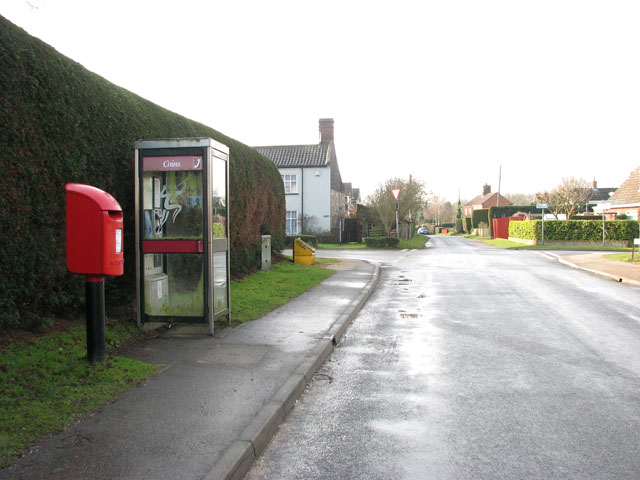
View south-west along School Lane
The junction seen in the background is with Burnthouse Lane (left) and Mill Road.
 Map © Crown Copyright")
TIP: Click the map for more Large scale mapping
- Grid Square
- TG1606, 54 images (more nearby 🔍)
- Photographer
- Evelyn Simak (more nearby)
- Date Taken
- Wednesday, 3 February, 2010 (more nearby)
- Submitted
- Thursday, 4 February, 2010
- Subject Location
-
OSGB36:
 TG 160 066 [100m precision]
WGS84: 52:36.8996N 1:11.3683E - Camera Location
-
OSGB36: TG 160 067
- View Direction
- West-southwest (about 247 degrees)