2003
SC1867 : Cregneash Village - Ruins along left side of lane
taken 21 years ago, near to Cregneash, Isle of Man
This is 1 of 2 images, with title starting with Cregneash Village - Ruins along in this square
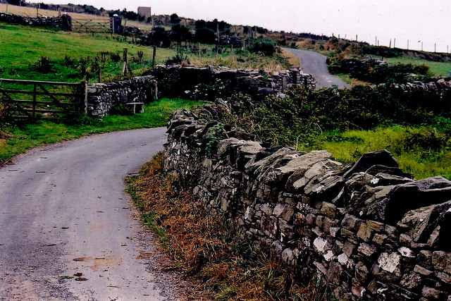
Cregneash Village - Ruins along left side of lane
View is to the south from a lane, between the village and the fields south of the village, that extends up a hill and ends at a parking area near a footpath down another hill to The Chasms.
 Map © Crown Copyright")
TIP: Click the map for more Large scale mapping
- Grid Square
- SC1867, 279 images (more nearby 🔍)
- Photographer
- Joseph Mischyshyn (more nearby)
- Date Taken
- Tuesday, 16 September, 2003 (more nearby)
- Submitted
- Thursday, 4 February, 2010
- Subject Location
-
OSGB36:
 SC 189 671 [100m precision]
WGS84: 54:4.0872N 4:46.0703W - Camera Location
-
OSGB36: SC 189 671
- View Direction
- SOUTH (about 180 degrees)