2006
NH2722 : The track to Cougie
taken 18 years ago, near to Coille Mhòr [forest or Wood], Highland, Great Britain
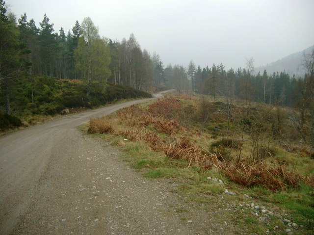
The track to Cougie
 Map © Crown Copyright")
TIP: Click the map for more Large scale mapping
- Grid Square
- NH2722, 5 images (more nearby 🔍)
- Photographer
- Gordon Brown (more nearby)
- Date Taken
- Sunday, 7 May, 2006 (more nearby)
- Submitted
- Sunday, 14 May, 2006
- Subject Location
-
OSGB36:
 NH 272 228 [100m precision]
WGS84: 57:15.7862N 4:52.0106W - Camera Location
-
OSGB36: NH 274 229
- View Direction
- Southwest (about 225 degrees)