2006
J4278 : Reservoir at Ballymenoch
taken 18 years ago, 3 km from Cultra, Co Down, Northern Ireland
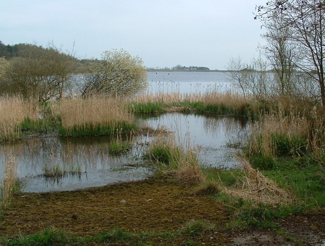
Reservoir at Ballymenoch
The area is marked on the OSNI map as Ballymenagh but Ballymenoch is the more common spelling. The two white dots to the left of the shrub near the centre are mute swans. The two blacks dots to the right are fishermen.
Loading map... (JavaScript required)
- Grid Square
- J4278, 24 images (more nearby 🔍)
- Photographer
- Michael Parry (more nearby)
- Date Taken
- Saturday, 22 April, 2006 (more nearby)
- Submitted
- Sunday, 14 May, 2006
- Subject Location
-
Irish:
 J 42786 78327 [1m precision]
WGS84: 54:37.9744N 5:47.3731W - View Direction
- Northeast (about 45 degrees)