2010
SU6313 : Habens lane becomes a stream after heavy rainfall
taken 14 years ago, near to Hoe Gate, Hampshire, England
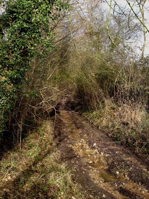
Habens lane becomes a stream after heavy rainfall
 Map © Crown Copyright")
TIP: Click the map for more Large scale mapping
- Grid Square
- SU6313, 22 images (more nearby 🔍)
- Photographer
- dinglefoot (more nearby)
- Date Taken
- Saturday, 6 February, 2010 (more nearby)
- Submitted
- Saturday, 6 February, 2010
- Subject Location
-
OSGB36:
 SU 635 135 [100m precision]
WGS84: 50:55.0916N 1:5.8560W - Camera Location
-
OSGB36: SU 635 135
- View Direction
- NORTH (about 0 degrees)