2010
SE5452 : Bridleway from Moor Lane to B1224
taken 14 years ago, near to Knapton, York, England
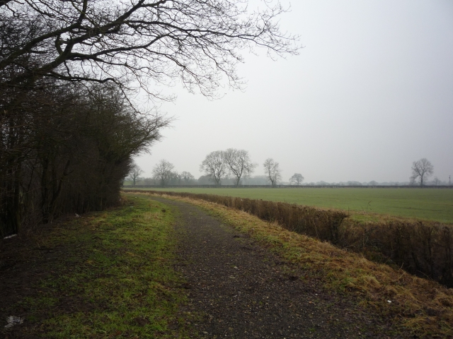
Bridleway from Moor Lane to B1224
This bridleway has a good surface at this point, but around the corner to the left becomes very muddy.
 Map © Crown Copyright")
TIP: Click the map for more Large scale mapping
- Grid Square
- SE5452, 23 images (more nearby 🔍)
- Photographer
- DS Pugh (more nearby)
- Date Taken
- Sunday, 7 February, 2010 (more nearby)
- Submitted
- Sunday, 7 February, 2010
- Subject Location
-
OSGB36:
 SE 548 521 [100m precision]
WGS84: 53:57.7734N 1:9.9102W - Camera Location
-
OSGB36: SE 549 522
- View Direction
- West-southwest (about 247 degrees)