SK7371 : Tuxford, Nottinghamshire

near to Tuxford, Nottinghamshire, Great Britain

Tuxford, Nottinghamshire
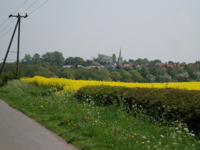
Tuxford, viewed from Bevercotes Lane.
Creative Commons Licence [Some Rights Reserved]   © Copyright Robert Goulden and licensed for reuse under this Creative Commons Licence.
year taken
2006
Find out how to reuse this Image For example on your webpage, blog, a forum, or Wikipedia.
Discuss There is 1 post in a discussion
on SK7371
(preview on the left)
Modify Suggest an Update to this Image Email Contact the contributor
1:50,000 Modern Day Landranger(TM) Map © Crown Copyright
+
1:50,000 Modern Day Landranger(TM) Map © Crown Copyright
TIP: Click the map to open OS Get-a-Map
Change to interactive Map >
Grid Square
SK7371, 21 images   (more nearby)
Photographer
Robert Goulden   (find more nearby)
Image classification
Geograph
Date Taken
Friday, 12 May, 2006   (more nearby)
Submitted
Monday, 15 May, 2006
Category
Village   (more nearby)
Subject Location
OSGB36: geotagged! SK 73 71 [1000m precision]
WGS84: 53:14.1274N 0:54.0157W
Photographer Location
OSGB36: geotagged! SK 728 712
View Direction
EAST (about 90 degrees)
Looking for a postcode? Try this pageExternal link
Clickable map
+

Forward to a
Friend > >


Text listing of Images in SK7371

This page has been viewed about 150 times. Read more
NW N NE
W Go E
SW S SE
[Mark
You are not logged in login | register