2006
SX3359 : The A38 near Trerulefoot
taken 18 years ago, near to Trerulefoot, Cornwall, England
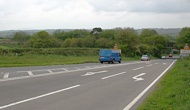
The A38 near Trerulefoot
Looking away from the roundabout as the road heads downhill and under a low railway bridge.
 Map © Crown Copyright")
TIP: Click the map for more Large scale mapping
- Grid Square
- SX3359, 19 images (more nearby 🔍)
- Photographer
- Tony Atkin (more nearby)
- Date Taken
- Saturday, 13 May, 2006 (more nearby)
- Submitted
- Monday, 15 May, 2006
- Subject Location
-
OSGB36:
 SX 331 591 [100m precision]
WGS84: 50:24.4804N 4:21.0102W - Camera Location
-
OSGB36: SX 3306 5901
- View Direction
- North-northeast (about 22 degrees)