2006
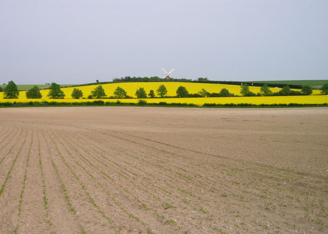
TL5056 : Fields near Fulbourn
taken 18 years ago, near to Fulbourn, Cambridgeshire, England
 Map © Crown Copyright")
TIP: Click the map for more Large scale mapping
- Grid Square
- TL5056, 134 images (more nearby 🔍)
- Photographer
- David Gruar (more nearby)
- Date Taken
- Friday, 12 May, 2006 (more nearby)
- Submitted
- Tuesday, 16 May, 2006
- Subject Location
-
OSGB36:
 TL 504 563 [100m precision]
WGS84: 52:11.0668N 0:11.9106E - View Direction
- East-southeast (about 112 degrees)