2006
SP6468 : Trig Point near Long Buckby
taken 18 years ago, near to Long Buckby, West Northamptonshire, England
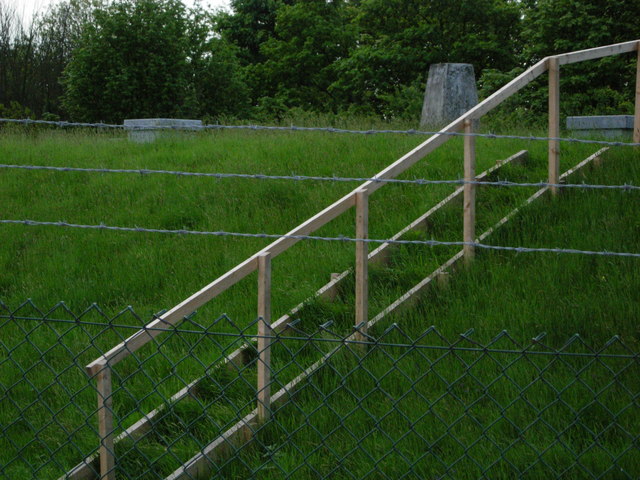
Trig Point near Long Buckby
This trig point, at 181 metres elevation, stands within a reservoir compound. It is inaccessible behind a high barbed wire fence.
 Map © Crown Copyright")
TIP: Click the map for more Large scale mapping
- Grid Square
- SP6468, 10 images (more nearby 🔍)
- Photographer
- Stephen McKay (more nearby)
- Date Taken
- Thursday, 18 May, 2006 (more nearby)
- Submitted
- Thursday, 18 May, 2006
- Subject Location
-
OSGB36:
 SP 647 682 [100m precision]
WGS84: 52:18.4867N 1:3.1474W - Camera Location
-
OSGB36: SP 646 682
- View Direction
- EAST (about 90 degrees)