2010
SO2354 : Icy lane east of Gladestry
taken 14 years ago, near to Gladestry, Powys, Wales
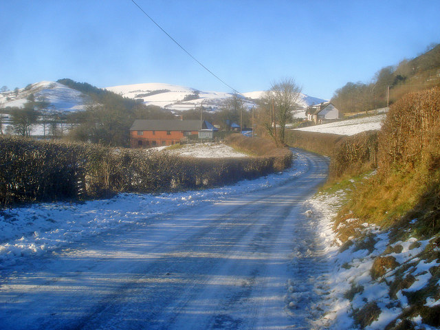
Icy lane east of Gladestry
Looking west along the lane towards the premises of The Purple Funeral Company SO2354 : The Purple Funeral Company - 1. The western tip of the Hergest Ridge on the right and Colva Hill in the distance.
 Map © Crown Copyright")
TIP: Click the map for more Large scale mapping
- Grid Square
- SO2354, 27 images (more nearby 🔍)
- Photographer
- Trevor Rickard (more nearby)
- Date Taken
- Monday, 4 January, 2010 (more nearby)
- Submitted
- Wednesday, 24 February, 2010
- Subject Location
-
OSGB36:
 SO 237 549 [100m precision]
WGS84: 52:11.2234N 3:6.9789W - Camera Location
-
OSGB36: SO 239 548
- View Direction
- West-northwest (about 292 degrees)