2006
SU5657 : Farmland near Ewhurst Park
taken 18 years ago, near to Wolverton, Hampshire, England
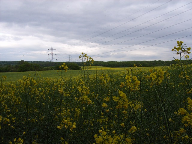
Farmland near Ewhurst Park
Cut Wood is to the right of the rape-field. The first two pylons are within the grid-square.
 Map © Crown Copyright")
TIP: Click the map for more Large scale mapping
- Grid Square
- SU5657, 23 images (more nearby 🔍)
- Photographer
- Andrew Smith (more nearby)
- Date Taken
- Saturday, 20 May, 2006 (more nearby)
- Submitted
- Monday, 22 May, 2006
- Subject Location
-
OSGB36:
 SU 560 575 [100m precision]
WGS84: 51:18.8319N 1:11.8742W - View Direction
- East-northeast (about 67 degrees)