2010
NZ3278 : South Beach, Blyth
taken 14 years ago, near to Newsham, Northumberland, England
This is 1 of 7 images, with title South Beach, Blyth in this square
South Beach, Blyth
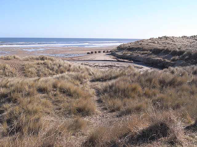
At this point, a stream emerges from underneath the sand dunes. The concrete blocks formed part of the wartime defences.
 Map © Crown Copyright")
TIP: Click the map for more Large scale mapping
- Grid Square
- NZ3278, 62 images (more nearby 🔍)
- Photographer
- Oliver Dixon (more nearby)
- Date Taken
- Tuesday, 2 March, 2010 (more nearby)
- Submitted
- Thursday, 4 March, 2010
- Subject Location
-
OSGB36:
 NZ 322 789 [100m precision]
WGS84: 55:6.2300N 1:29.8124W - Camera Location
-
OSGB36: NZ 321 789
- View Direction
- East-southeast (about 112 degrees)