2010
TQ8927 : Stile on High Weald Landscape Trail near Bates Farm
taken 14 years ago, near to Wittersham, Kent, England
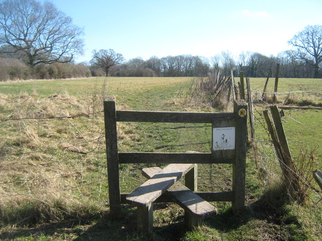
Stile on High Weald Landscape Trail near Bates Farm
The long distance path heads from Swan Street via a horse paddock towards The Street,Wittersham near Wittersham Church.
High Weald Landscape Trail
This is 140 km /90 mile route crosses West Sussex, East Sussex and Kent. It gives walkers the chance to explore the very heart of south east England. The trail links ridge top villages and famous historic gardens. It wanders through a rolling landscape of small fields, hop gardens, orchards, flower-rich meadows and ancient woodlands, studded with ponds, sandstone outcrops and heavy clay fields.
See Linkfor more details on the route. For more details on how to explore the route, see Link
 Map © Crown Copyright")
TIP: Click the map for more Large scale mapping
- Grid Square
- TQ8927, 89 images (more nearby 🔍)
- Photographer
- David Anstiss (more nearby)
- Date Taken
- Sunday, 7 March, 2010 (more nearby)
- Submitted
- Tuesday, 9 March, 2010
- Subject Location
-
OSGB36:
 TQ 892 272 [100m precision]
WGS84: 51:0.8038N 0:41.7940E - Camera Location
-
OSGB36: TQ 892 272
- View Direction
- East-southeast (about 112 degrees)